
The Bay of Kotor: Nature of a Mountain Inlet
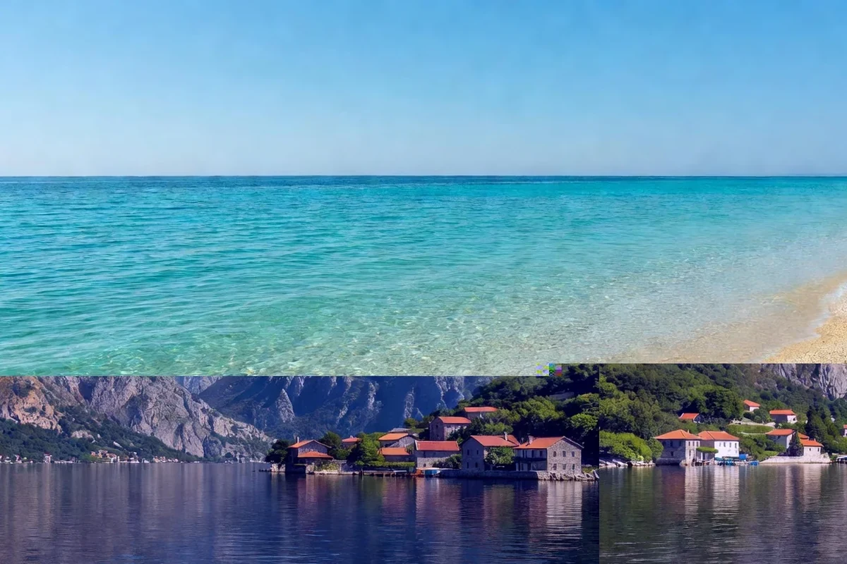
The Bay of Kotor, known locally as Boka Kotorska, is one of the most striking natural features of the eastern Adriatic. It is a deep, winding inlet that cuts into the Dinaric mountains and is often described as the southernmost fjord in Europe. That label is convenient but not quite accurate: the bay is a ria, a river valley that was flooded by the sea after the last ice age, and the difference explains both its shape and its character.
Framed by high limestone slopes and dotted with historic towns, the bay is a landscape in which nature and culture are impossible to separate. It is protected in part through the World Heritage listing of its cultural and natural region, and it remains both a working waterway and a place of great beauty.
The shape of a drowned valley
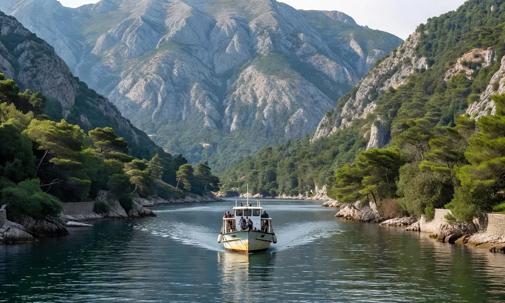
When sea levels rose at the end of the ice age, the sea invaded valleys that rivers had cut through the mountains. That is what happened here, and the result is an inlet with the branching, enclosed feel of a fjord, even though no glacier made it. The bay narrows into passages and then opens into wider basins, all of them hemmed in by steep slopes that fall close to the water.
This geography gives the bay its calm, sheltered water and its dramatic scale. It also explains why sailing, fishing and trade flourished here for centuries: the bay offers protection from the open sea and a deep harbour within high walls.
Mountains that frame the water
The mountains around the bay are part of what makes it special. On one side, the slopes of Orjen rise above the entrance; on the other, the massif of Lovćen stands over the inner reaches. Between and around them, limestone ridges and plateaus enclose the water and create the backdrop that visitors recognise from photographs.
- The bay is enclosed by high limestone mountains.
- The water is sheltered and calm compared with the open Adriatic.
- The steep slopes descend close to the shoreline.
- The setting shapes both the climate and the towns.
A mild, sheltered climate
Because it is closed in by mountains, the bay enjoys a mild and relatively humid climate. This supports lush vegetation, with Mediterranean and sub-Mediterranean plants growing in a setting that also feels mountainous. In places the combination is surprising: palm-like plants close to bare rock, and green slopes above grey stone.
The sheltered conditions also affect the water and the weather. Winds can still be strong in the bay, and sudden changes are possible, but the overall impression is of a gentler, more enclosed world than the exposed Adriatic coast outside.
Towns around the bay
The bay is not a wilderness but a settled landscape. Kotor sits at its innermost point, while Perast, Dobrota, Prčanj, Stoliv and other settlements line the shore, each with its own waterfront and history. On the outer part of the bay, Herceg Novi guards the entrance. These towns grew up because of the water, and their architecture reflects maritime prosperity.
For a visitor, the bay is best understood as a series of linked places around a single body of water. A boat trip, a drive along the shore and a walk in one or two of the towns together give a fuller picture than any one of them alone.
Wildlife and the water
The sheltered water and the surrounding slopes support a range of wildlife, from marine life in the bay to birds and animals on the mountains. The bay is a working environment as well as a scenic one, used by fishing boats and pleasure craft alike, and much of its nature is found in the quieter corners away from the busiest quays.
The bay in brief
| Element | Description | What to know |
|---|---|---|
| Type | A ria, a drowned river valley | Often called a fjord |
| Setting | Enclosed by limestone mountains | Orjen and Lovćen nearby |
| Water | Calm and sheltered | Suited to boats and sailing |
| Towns | Kotor and Perast among others | Historic waterfronts |
| Best seen | From the water and the mountains | Combine boat and drive |
Boats, viewpoints and the village shore
The bay is at its best from the water. Small boats and larger excursion craft run between the towns, and a crossing gives views of the slopes, the churches and the waterfronts that a road simply cannot match. From the water the scale of the enclosing mountains becomes obvious, and the sequence of settlements unfolds one after another along the shore.
Ashore, the viewpoints that matter most are the high ones: the fortifications above Kotor, the roads that climb toward Lovćen, and the passes that lead inland from the head of the bay. Each reveals a different part of the inlet and a different relationship between water and mountain. Between boats and high ground, a visitor can build a complete picture of how this unusual body of water is shaped, and why it has always been both a shelter and a place worth defending.
Why the bay draws people
The Bay of Kotor is one of the few places where a single body of water combines a mountain setting, a mild climate and centuries of maritime history. It looks like a fjord, behaves like a sheltered harbour and is ringed by towns that grew rich from the sea. Seen from a boat, from the walls above Kotor or from a mountain road, it is the image of Montenegro that most travellers carry home.
Read next
The Five National Parks of Montenegro
A short tour of the protected areas that together cover the country’s most valued landscapes.
Biogradska Gora National Park
A rainforest remnant, a mountain lake and gentle trails in the Bjelasica range.
Lake Skadar National Park
The largest lake in the Balkans, shared with Albania, and a refuge for water birds.