
A Mountain Itinerary
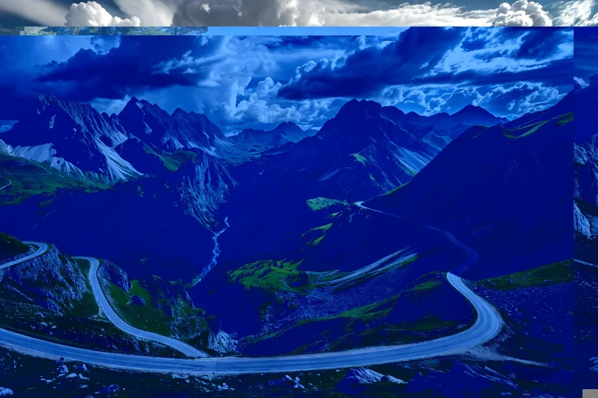
Montenegro's interior is a country of its own, quite different from the coast. A mountain itinerary through the north takes in river canyons, national parks, glacial lakes, high plateaus and traditional villages, and it is best done with a car or a well-planned series of buses over several days. The loop described here follows the main mountain routes and can be shortened or extended as time allows.
The starting point is usually the capital, from which the road leads north through the Morača canyon toward the mountains. From there the route climbs to the high country, crosses the great canyons and reaches the park country of the north before returning south.
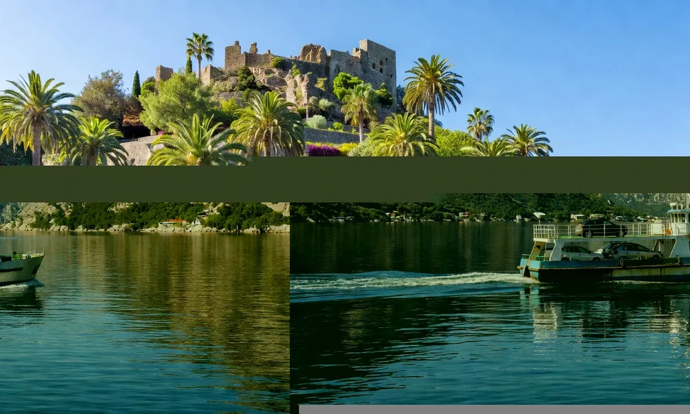
North through the Morača canyon
Leaving the capital, the road follows the Morača river through its deep canyon, one of the main corridors into the interior. Beside the river stands a medieval monastery, a natural first stop, and the canyon itself provides a long, dramatic drive with the water always close by.
This first stage sets the tone for the trip: a route defined by rivers and gorges rather than open plains, because the mountains leave no other way through.
Biogradska Gora and the central mountains
Continuing north, the road reaches the Bjelasica mountains and Biogradska Gora National Park, where a mountain lake and a primeval forest make an easy and rewarding stop. The terrain here is gentler than the limestone ranges further west, and the walking, even a short lakeside circuit, is pleasant for most visitors.
- Start with the Morača canyon and its monastery.
- Continue to Biogradska Gora and its lake.
- Cross toward the Tara canyon in the north.
- Finish around Durmitor and the Black Lake.
The Tara canyon
Farther north lies the Tara, whose canyon is among the deepest in Europe and is one of the highlights of the whole trip. Viewpoints along the rim give access without going near the water, and a large arch bridge makes a famous crossing. For those who want to be on the river, rafting trips are run by local operators.
The canyon is a reminder of how the landscape was shaped, and it is best appreciated slowly, with stops at the viewpoints and the bridge rather than a single glance from a moving car.
Durmitor and the Black Lake
The route reaches Durmitor National Park, a World Heritage property of plateaus, peaks and glacial lakes. The Black Lake, near the town of Žabljak, is the most accessible of the lakes and the natural base for walking in the massif. From here, trails lead to higher ground, other lakes and viewpoints, making it one of the best walking areas in the country.
Durmitor is where the mountain itinerary reaches its highest and wildest point. The climate is alpine, the weather changes quickly, and proper clothing and footwear are essential even in summer.
Piva and the road back
West of Durmitor, the Piva canyon and its turquoise reservoir offer a spectacular final stage before the return south. The road follows the lake through the gorge, passing the relocated monastery, and the scenery of water, rock and mountains is among the finest in Montenegro. From Piva the route can continue toward the coast or back to the interior.
This last section completes the loop, bringing together the two great canyons of the north and the high country between them, before the road descends again to lower ground.
The mountain route in brief
| Stage | Landscape | Highlight |
|---|---|---|
| Morača canyon | A deep river gorge | A medieval monastery |
| Biogradska Gora | Forest and lake | Primeval woodland |
| Tara canyon | Among Europe's deepest | Rim views and a bridge |
| Durmitor | Plateaus and glacial lakes | The Black Lake |
| Piva | Canyon and reservoir | Turquoise water |
Practical notes
The route is long and the roads are winding, so it is worth allowing several days and driving in daylight. Fuel, food and accommodation are limited in the high country, and it is wise to plan stops in advance, especially outside summer. Winter closes many roads and high routes entirely.
Weather in the mountains can change within hours, and the high ground is exposed and often cold even in summer. Walkers should carry layers, water, proper footwear and a map, and should tell someone their plans. Drivers should take care on the bends and watch for livestock on the road, which is common on the pastures.
Slowing down in the mountains
The mountain route rewards a slower pace than the coast. Distances are longer, roads wind, and the weather can interrupt the best plans, so it makes sense to build in spare time rather than trying to fit everything into a tight schedule. A day spent around a single lake or canyon, with a walk and a viewpoint, is often more memorable than a rushed tour of many.
This is also the part of Montenegro where the journey itself is the attraction. The drive through a gorge, a stop at a monastery, a meal in a mountain village and an evening by a lake are as much a part of the trip as the famous sights, and leaving room for them turns a checklist into a real experience.
Why the mountains deserve a trip of their own
The north of Montenegro is a landscape of canyons, parks, lakes and pastures that many visitors never see, because they stay on the coast. A mountain itinerary reveals a different country: quieter, higher and more rugged, with some of the finest scenery in the Balkans. For travellers willing to trade the beach for the peaks, it is an unforgettable route.
Read next
Getting to Montenegro
Airports, overland routes and sea connections, and how they shape an itinerary.
The Best Time to Visit
Coast and mountains have different seasons; what to expect month by month.
Getting Around Montenegro
Buses, ferries, trains and rental cars, and the roads that link coast and mountains.