
The Tara River and its Canyon
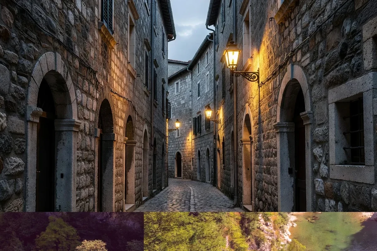
The Tara is the river that has cut one of the deepest canyons in Europe, a gorge in the limestone of northern Montenegro that is often described as the deepest canyon on the continent. A stretch of the canyon lies within Durmitor National Park, and together with the surrounding mountain landscape it forms part of the park's UNESCO World Heritage listing. For travellers, the Tara is both a dramatic piece of scenery and a well-known river for rafting.
The river is fed by springs and snowmelt, so its water is cold, clear and fast. That combination has shaped both the canyon and the ways people use the river, from transport in the past to rafting and walking today.
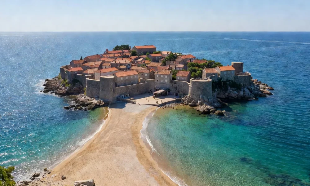
A canyon cut through limestone
The canyon is the result of water and rock over a very long period. A river flowing across a rising limestone landscape cuts downward as the land lifts, and the result is the deep, narrow gorge that makes the Tara famous. The walls fall steeply toward the water, and from the rim the river appears far below, winding between high cliffs.
Because the rock is limestone, the canyon also holds caves, springs and underground channels. Water vanishes into the rock in one place and reappears in another, and the whole massif is a system of surface gorges and hidden drainage. This gives the canyon a geological interest that goes well beyond its depth.
Clear, cold, fast water
The Tara's water is one of its defining features. Fed by rain, snowmelt and springs, it stays cold even in summer, and its clarity is remarkable. Where the river runs shallow over stones, the water takes on a bright, translucent colour that makes it a favourite subject for photography.
- The water is cold because it comes from springs and snowmelt.
- It is very clear, especially in the shallows.
- The flow is fast, which shapes the riverbed and the canyon.
- Levels change with the season and the weather.
Rafting and the river
Rafting on the Tara is a long-established activity, and the river's rapids and scenery make it one of the best-known rafting destinations in the region. Trips are run by local operators, generally taking groups down a section of the river with guides. Because the water is cold and the flow strong, safety arrangements and proper equipment matter, and operators follow the rules set for the protected area.
For those who prefer dry feet, the canyon can also be experienced from the rim. Roads and viewpoints along the top give access to the gorge without going near the water, and the scale of the canyon is perhaps even clearer from above.
The bridge over the canyon
A large concrete arch bridge spans the canyon at one of its narrow points, carrying the road across the gorge. Built before the Second World War, it has become a landmark and a viewpoint in its own right, and it is one of the most photographed structures in Montenegro. From the bridge the river and the canyon walls can be seen directly below.
The bridge is also a symbol of how engineering and landscape meet here. Crossings of the Tara have always mattered, because the canyon is a real barrier, and the bridge made the two sides of the gorge accessible to each other.
The Tara in brief
| Element | Description | What to know |
|---|---|---|
| River | The Tara, in northern Montenegro | Fed by springs and snowmelt |
| Canyon | Among the deepest in Europe | Part within Durmitor park |
| Water | Cold, clear and fast | Levels change by season |
| Activity | Rafting with local operators | Safety equipment essential |
| Landmark | Concrete arch bridge | A viewpoint over the gorge |
Practical notes for a visit
The canyon is reached by road from the towns of the north, and the main viewpoints and rafting bases are along that route. Distances are long and the terrain is mountainous, so a car or an organised trip makes the visit easier. Weather can change quickly, and the canyon rim can be windy and cold even when the valleys are warm.
Anyone rafting should book with a reputable operator, follow the guide's instructions and wear the equipment provided. Walkers and drivers should keep to marked routes and safe viewpoints, because the edges of the gorge are genuinely dangerous. Whatever the activity, visitors should leave the protected area as they found it and respect the rules of the national park.
The canyon's place in the landscape
The Tara canyon does not stand alone. It is part of a wider limestone region of gorges, plateaus and mountains that includes Durmitor, the Piva canyon and the high ground between them. Rivers have cut these valleys over a very long time, and together they form the natural routes through the mountains, which is why the roads here follow the water rather than crossing the ridges.
Recognising this helps make sense of the whole area. The Tara is the most famous of these canyons, but it is one element of a landscape in which water, rock and altitude constantly shape one another. A traveller who sees it as part of that larger picture understands both the canyon and the mountains far better than a list of individual sights would allow.
Why the Tara matters
The Tara canyon combines depth, clear water, limestone geology and a protected mountain setting in a way that is rare anywhere in Europe. It is a landscape of real scale, best understood either from the rim or from the river itself, and it is one of the natural features for which Montenegro is best known. For many visitors it is the highlight of a trip to the north.
Read next
Black Lake on Durmitor
The best-known glacial lake of Durmitor and a starting point for high trails.
Piva Lake and Canyon
A turquoise reservoir in a limestone canyon, crossed by a landmark arch bridge.
Morača Canyon and Monastery
The main route north through a deep gorge, past a historic riverside monastery.