
Durmitor before you hike: what to check first
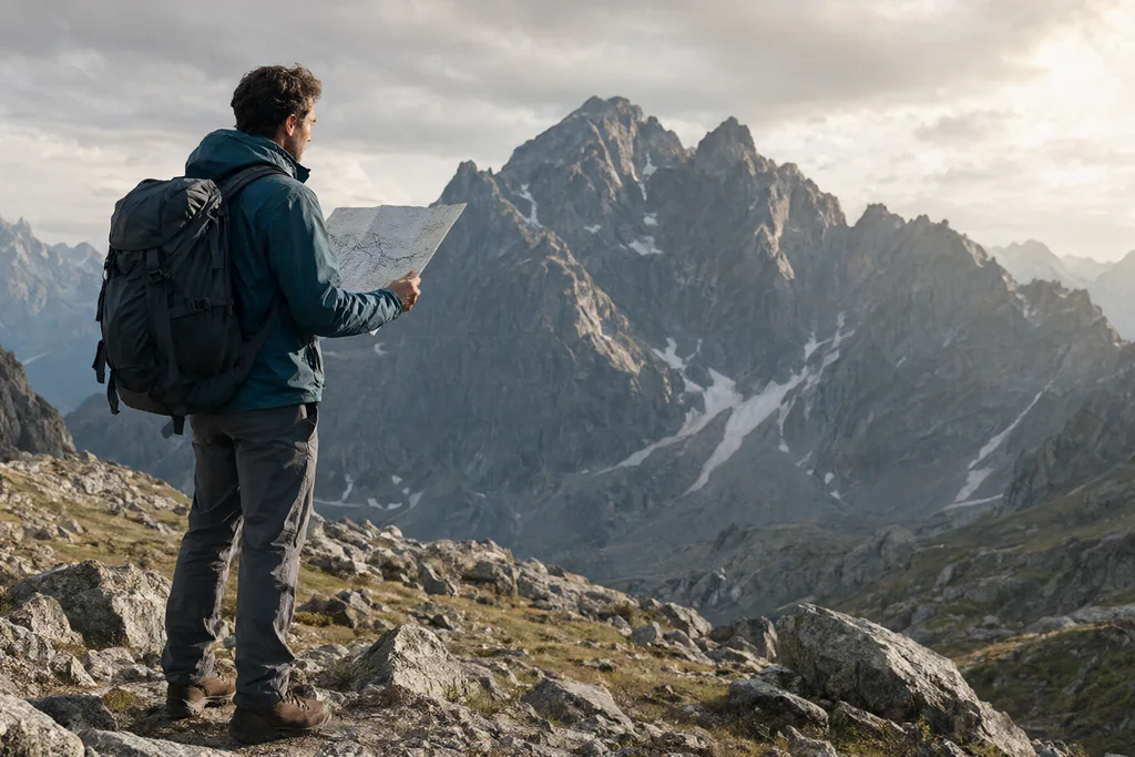
Durmitor is not a theme park with a gate and a map board. It is a high mountain massif where the useful information changes with the week: a path that was clear in July can be under snow in June, a spring that ran in August may be dry in September, and a forecast for the town below says little about the plateau.
None of this is a reason to stay away. It is a reason to spend twenty minutes checking before you set out, rather than discovering the problem at a trailhead.
Trails are seasonal infrastructure
Walking routes on the massif are maintained to different standards. Some are waymarked and cleared early in the season; others are faint paths that see little traffic and are effectively rebuilt by the first people to use them each year. A route described in a guidebook may be perfectly walkable and still be a poor choice in a wet spring, when the ground is saturated and the gullies run.
Ask which routes have been cleared and marked this season, not which routes exist. The distinction matters most for the approaches to the higher summits, where the path crosses scree and exposed ground.
Access roads are seasonal too. The high passes that shorten the approach are the first to be closed by snow and the last to be cleared, so check that the road you plan to drive is open before you commit to a trailhead.
Snow holds late in the high bowls
The massif carries snow into early summer in shaded hollows and north-facing bowls, and the high peaks hold it longer. A walk that is dry and easy on the sunny side can require a snow crossing ten minutes later. If you are going high early in the season, take an ice axe and the knowledge to use it, or choose a lower route.
- Lower lake circuits clear first and are the safe early-season option.
- North-facing slopes and deep hollows keep snow well into the summer.
- Cornices and wet snow slabs are a hazard on ridge lines after fresh falls.
- Late-season storms can put snow back on the tops in a single night.
Fees at the entrances
Durmitor is a national park and charges an entrance fee at its main access points in season. The amount, the hours when it is collected and the exemptions are set locally and change, so confirm the current arrangement with the park authority before you travel rather than carrying an assumption from an old blog post. Keep the receipt: it is your proof of payment if you are asked again at another entrance.
If you arrive outside the hours when a booth is staffed, do not assume entry is free or that entry is forbidden. Check the posted notice and pay at the first opportunity.
Water and shelters on the plateau
The plateau is karst, and water disappears into it. Streams that look permanent on a map can be dry by midsummer, and the lakes are not drinking water. Mountain huts and katuns are seasonal and not guaranteed open, so a plan that depends on buying a meal or refilling a bottle halfway is a fragile plan.
Carry more water than the distance suggests, and treat any source before drinking it. Livestock graze the plateau in summer, which affects both water quality and the behaviour of dogs at the katuns.
Weather that arrives faster than forecast
Mountain weather on an exposed massif changes quickly, and the plateau offers little shelter. Afternoon storms are a regular summer pattern, and lightning on open ground is a genuine risk rather than a theoretical one. Start early, be off the high ground by the middle of the afternoon, and treat a build-up of cloud as a signal to turn round rather than to push on.
| Check | Where to confirm | Why it changes the plan |
|---|---|---|
| Trail cleared and marked | Park information point | Faint paths vanish under growth |
| Snow line | Park staff, recent reports | Gear and route choice both change |
| Entrance fee and hours | Park authority | Cash and timing at the gate |
| Water sources | Local advice, hut staff | Carrying capacity for the day |
| Afternoon forecast | National weather service | Start time and turnaround point |
Markings, maps and the limits of both
Waymarks are painted on rock and wood and can be faded, moved or missing where a path has been rerouted. Offline maps are useful and can be wrong about the things that matter: a marked path may cross private grazing land, and a track shown as continuous may end at a fence.
Tell someone where you are going and when you expect to be back. Mobile coverage on the massif is patchy and cannot be assumed, particularly in the valleys and on the north side.
Finally, the rules that protect the park apply to walkers as much as to anyone else: stay on established paths where they exist, do not light fires outside permitted places, take your rubbish out, and keep your distance from livestock and wildlife. Check the current regulations with the park, because they are updated and they are enforced.
Read next
Montenegro's UNESCO list: four inscriptions explained
Montenegro holds four World Heritage inscriptions. What each one protects, how the shared properties work, and what a listing does and does not mean.
Kotor in cruise season: planning around the crowds
Time a Kotor visit around the ships: early mornings on the walls, quieter gates, Perast as the alternative, and why the middle of the day belongs indoors.
One week, four UNESCO sites: a Montenegrin route
A seven day Montenegrin route linking Kotor, the Venetian fortifications, Durmitor and the stećci graveyards, with transport notes and booking advice.